Flag Map 3D Model
Country Map 3D Model
Country Map 3D Model
Country Map 3D Model
3d Country Map 3D Model
Country Map 3D Model
Country Map 3D Model
Country Map 3D Model
Country Map 3D Model
Green Country Map 3D Model
Colored Country Map 3D Model
Country Map 3D Model
Country Map 3D Model
Country Map 3D Model
3d Country Map 3D Model
Country Map 3D Model
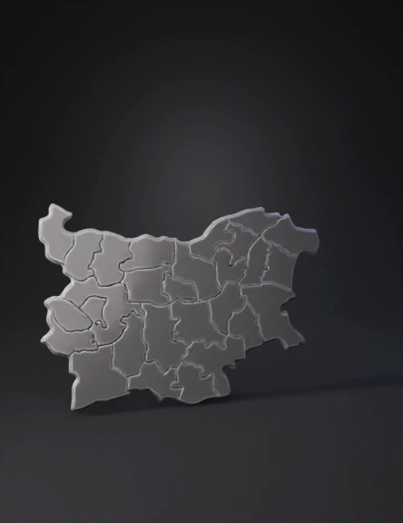
Political Map 3D Model