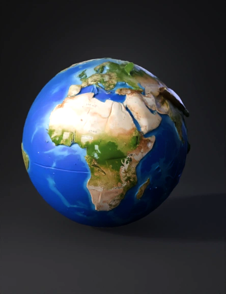
Earth Globe 3D Model
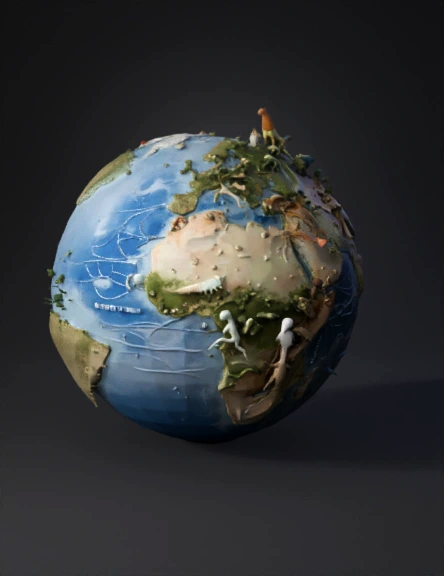
Geological Eras Globe 3D Model
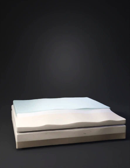
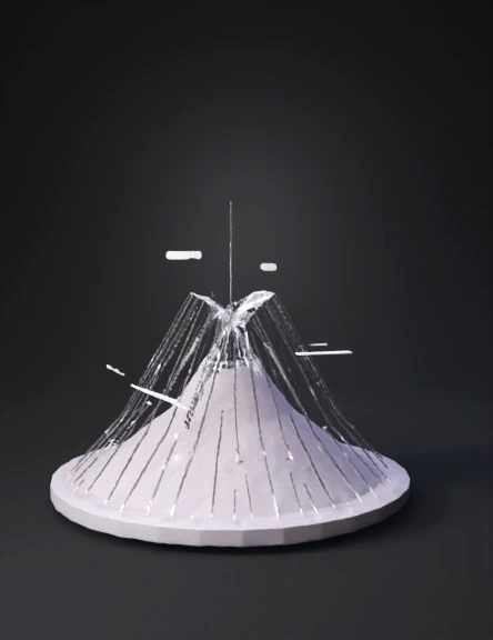
Sand Water Cross-section 3D Model
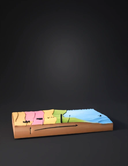
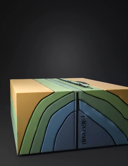
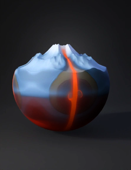
Geological Cross-section 3D Model
Geological Strata 3D Model
Geological Cross-section 3D Model
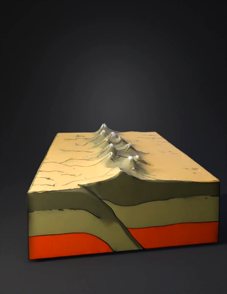
Geological Fold 3D Model
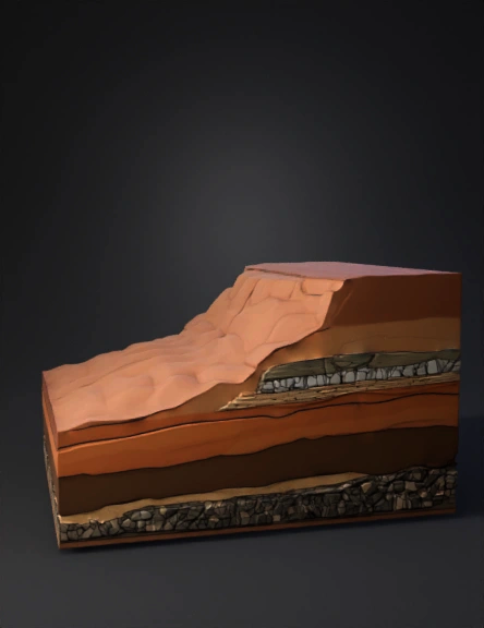
Geology Block 3D Model
Geological Cross-section 3D Model
Geology Terrain 3D Model
Geology Cross-section 3D Model
Oil Drilling Site 3D Model
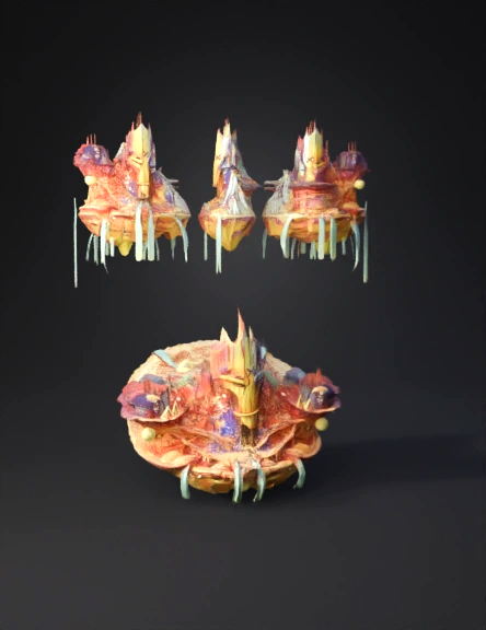
Fantasy Floating Island 3D Model
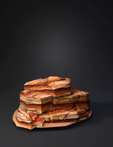
Layered Sandstone Rock 3D Model
Crater Lake 3D Model
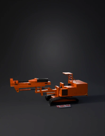
Drilling Rig 3D Model
Sección Geológica 3d 3D Model