India Map 3D Model
India Map 3D Model
India Map 3D Model
India Map 3D Model
India Map 3D Model
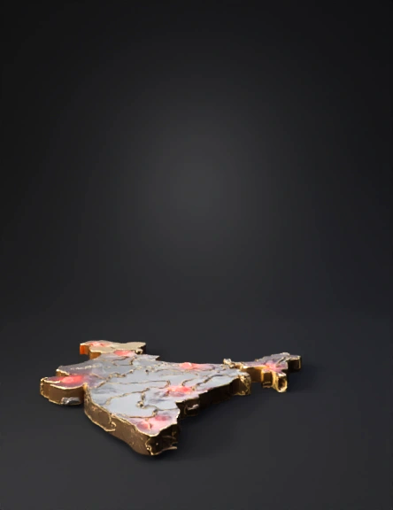
India Flag Map 3D Model
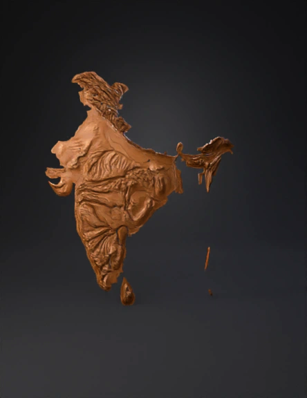
India Map 3D Model
India Flag Map 3D Model
India Map 3D Model
India Map 3D Model
India Map 3D Model
India Map 3D Model

India Map 3D Model
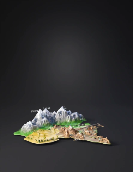
India Physical Features 3D Model
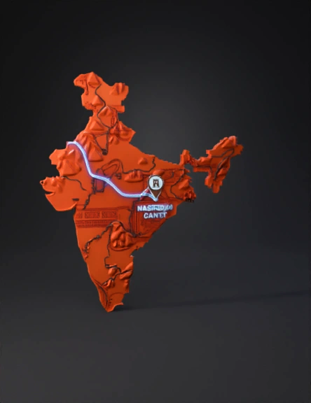
India 3d Map 3D Model
India Map 3D Model
India Map 3D Model