Wooden Plaque 3D Model

India Emblem Ring 3D Model
भारत नक्शा 3d मॉडल 3D Model

India Map 3D Model
India Map 3D Model
India Map 3D Model
India Flag 3D Model
India Map 3D Model
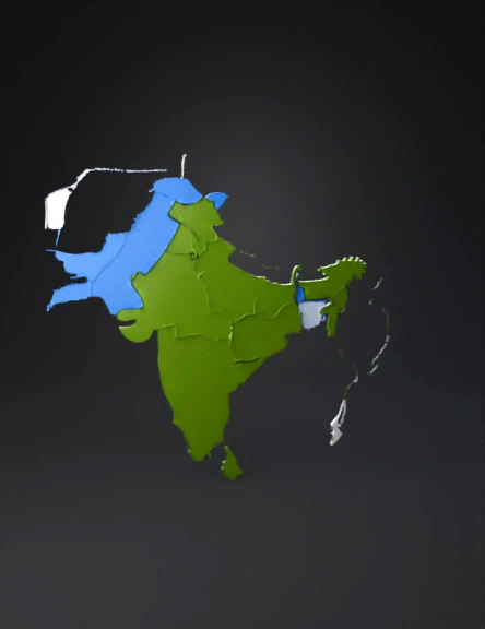
India Map 3D Model
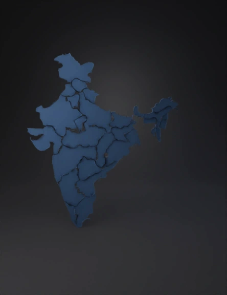
India Map 3D Model
Constitution Book 3D Model
India Map 3D Model
Indian Emblem 3D Model
India Map 3D Model
Logo 3D Model
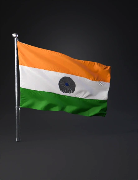
India Flag 3D Model
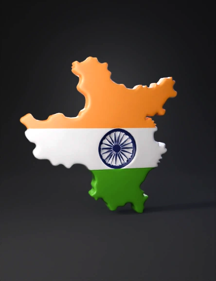
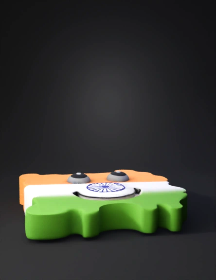
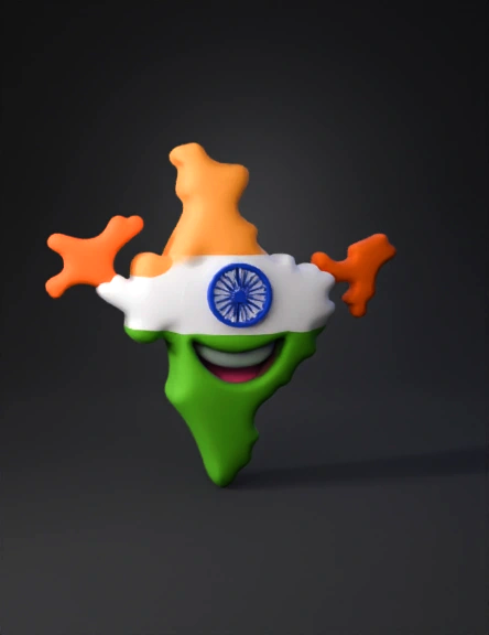
India Flag Map 3D Model