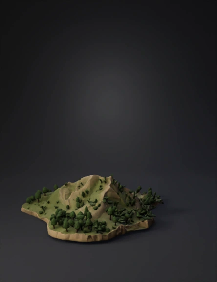
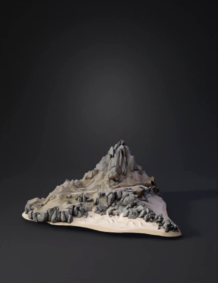
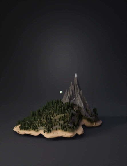
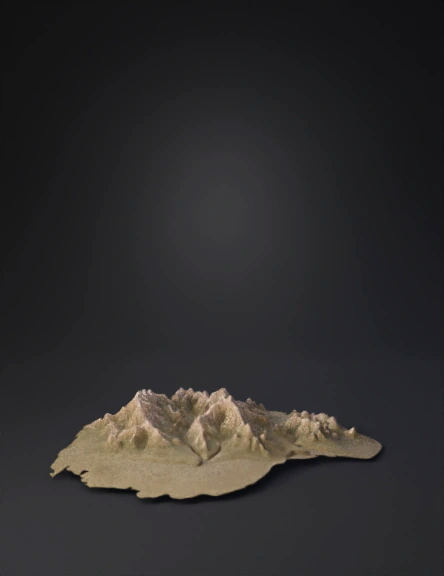
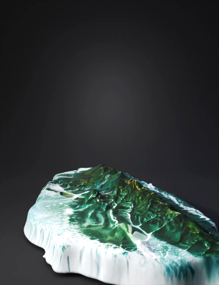
Island Terrain 3D Model
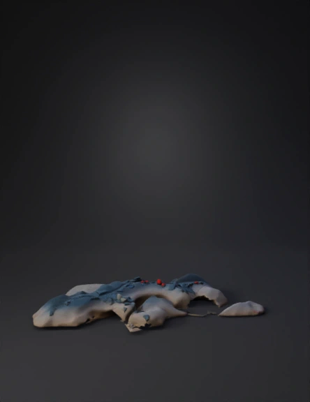
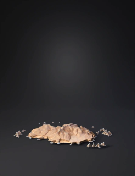
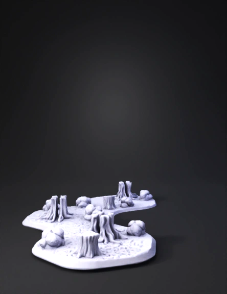
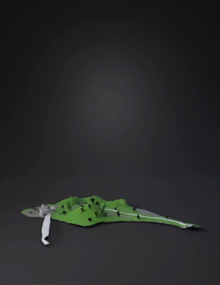
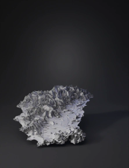
Island Terrain 3D Model
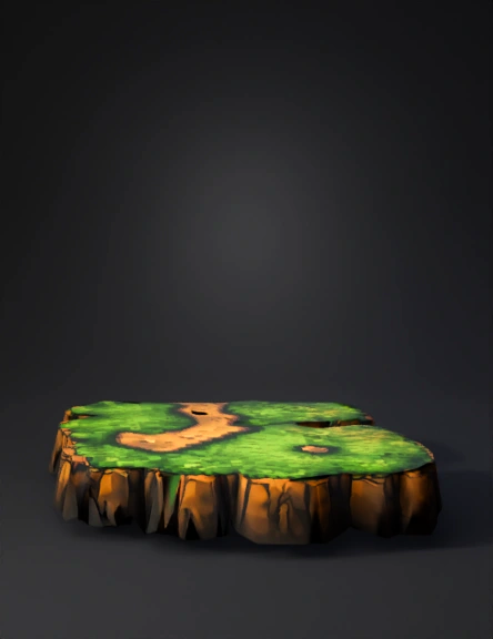
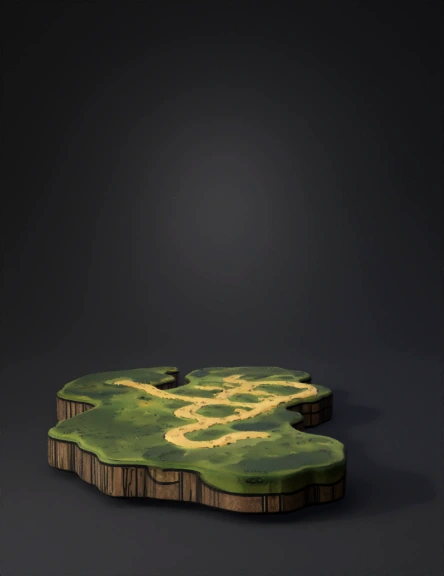
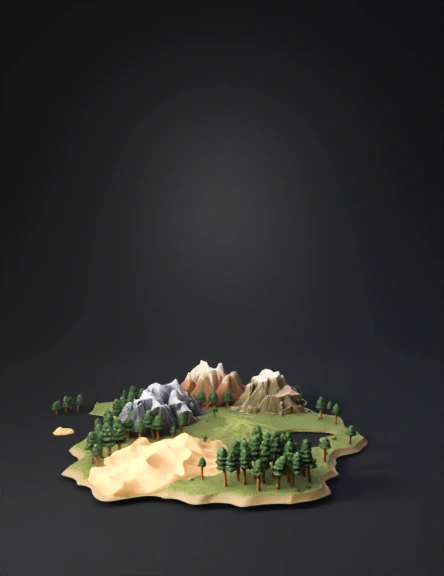
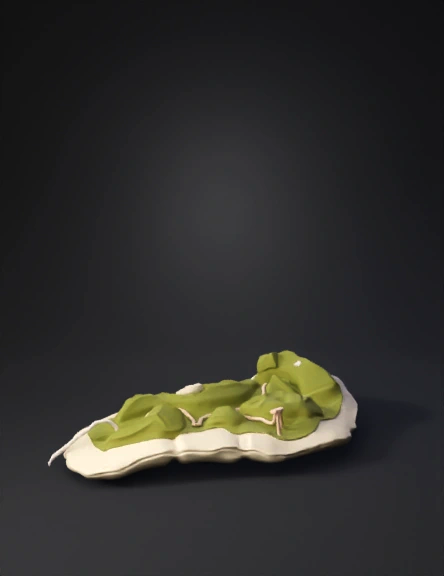
Island Terrain 3D Model
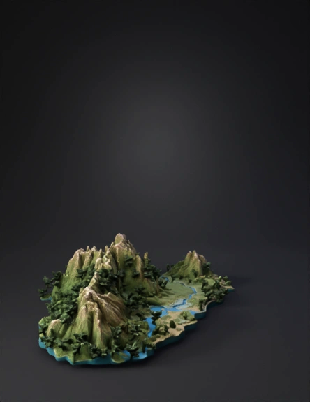
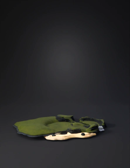
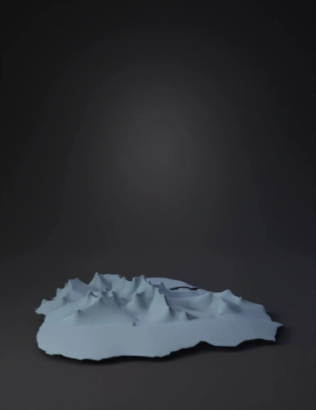
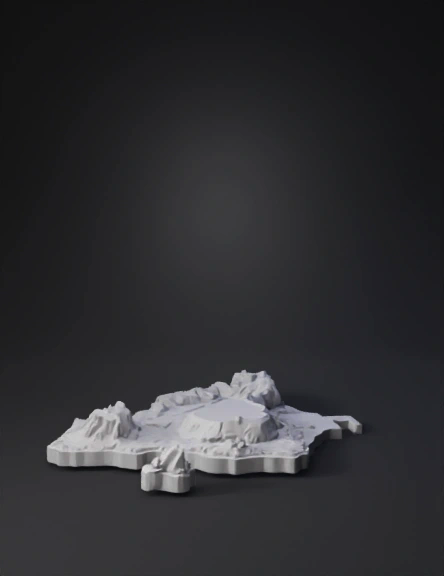
Island Terrain 3D Model
Island Terrain 3D Model
Island Terrain 3D Model
Island Terrain 3D Model
Island Terrain 3D Model
Island Terrain 3D Model
Island Terrain 3D Model
Island Terrain 3D Model
Island Terrain 3D Model
Island Terrain 3D Model
Island Terrain 3D Model
Island Terrain 3D Model
Island Terrain 3D Model
Island Terrain 3D Model
Island Terrain 3D Model