?
Terrain map 3D Models
Find the best Terrain map 3D Models, free download in STL, FBX, GLB, OBJ, 3MF, USDZ for 3D modeling and creation in Blender, 3D printing, game developing, animation, eCommerce, AR/VR and etc. Generated by Tripo AI 3D Generator.
You May Also Like :
3d Terrain Map 3D Model
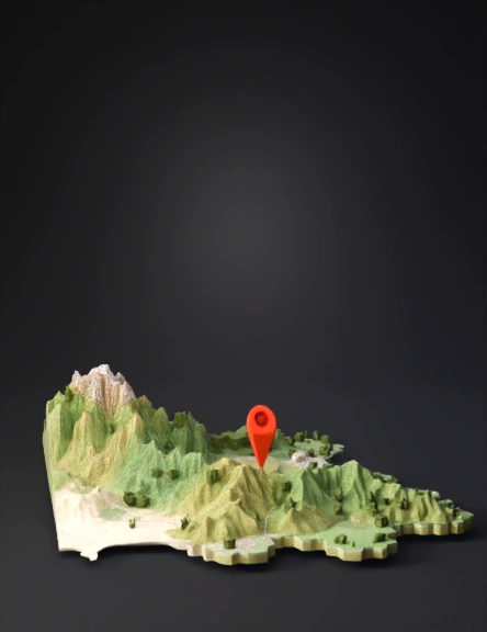
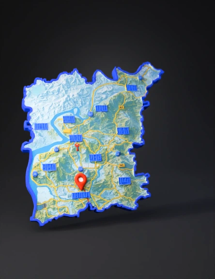
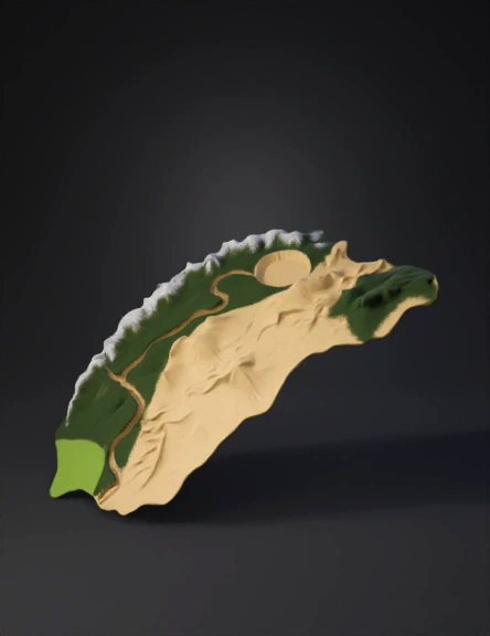
Terrain Map 3D Model
3d Terrain Map 3D Model
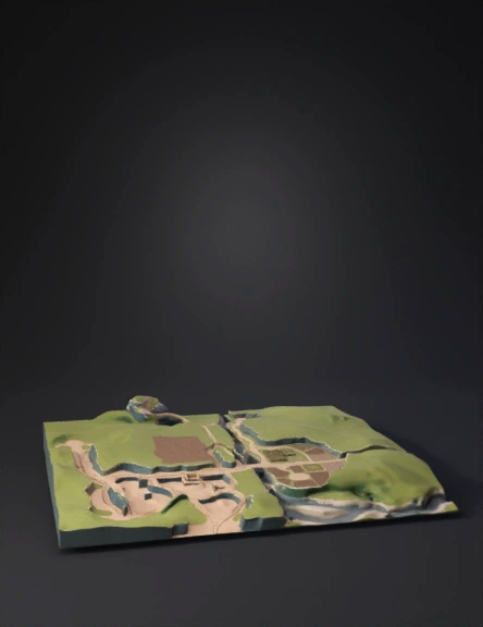
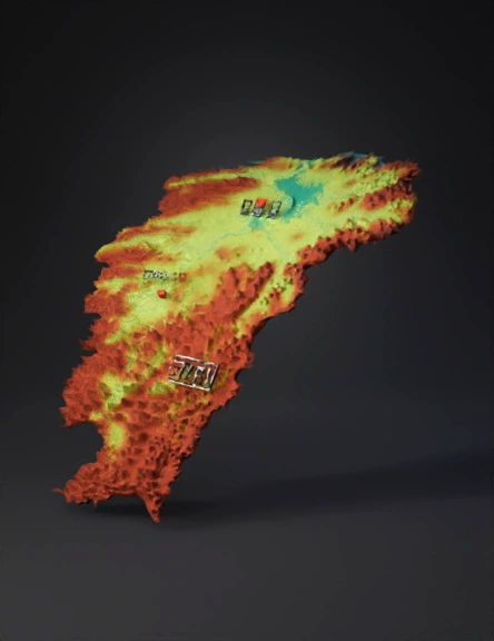
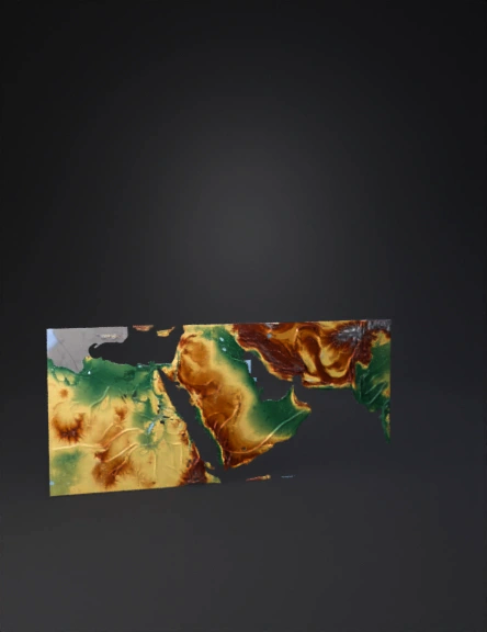
Terrain Map 3D Model
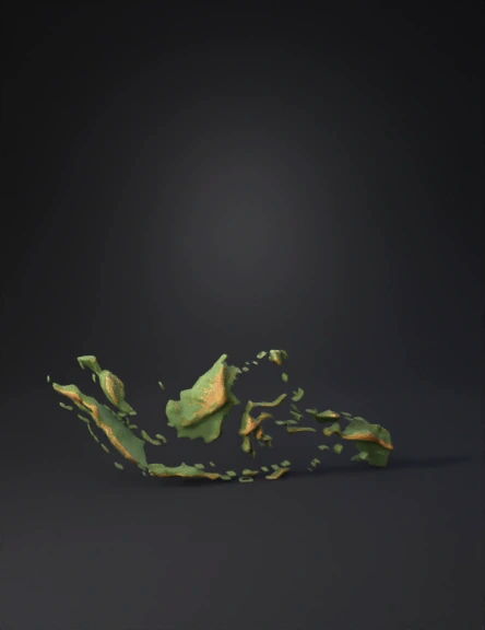
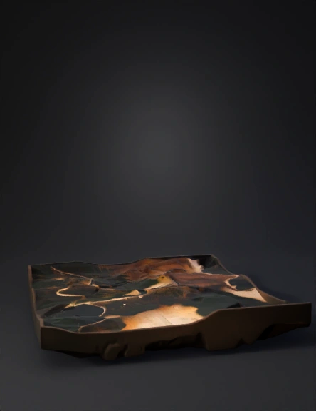
Terrain Map 3D Model
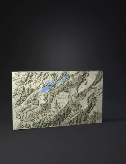
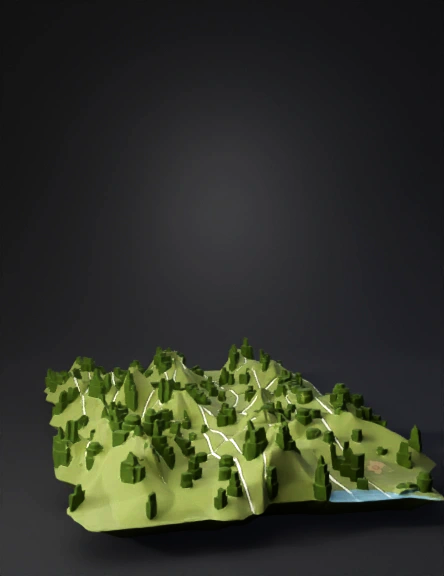
Terrain Map 3D Model
Terrain Map 3D Model
Terrain Map 3D Model
Terrain Map 3D Model
Terrain Map 3D Model
3d Terrain Map 3D Model
Terrain Map 3D Model
Terrain Map 3D Model
Terrain Map 3D Model
Terrain Map 3D Model
Terrain Map 3D Model
Terrain Map 3D Model
Terrain Map 3D Model