?
Trenches 3D Models
Find the best Trenches 3D Models, free download in STL, FBX, GLB, OBJ, 3MF, USDZ for 3D modeling and creation in Blender, 3D printing, game developing, animation, eCommerce, AR/VR and etc. Generated by Tripo AI 3D Generator.
You May Also Like :
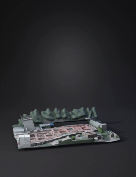
Archaeological Site 3D Model
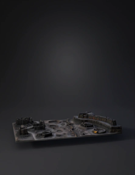
Ruined Fortress Diorama 3D Model
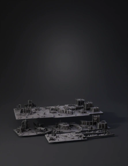
Ruined Fortress 3D Model
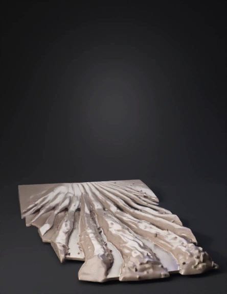
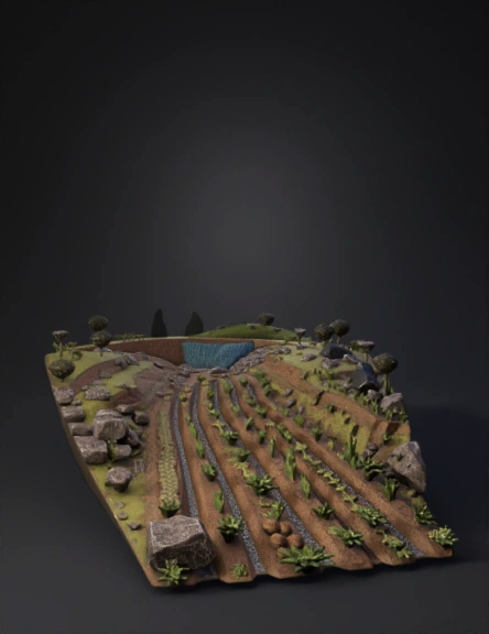
Furrowed Field 3D Model
Construction Site 3D Model
Archaeological Site 3D Model
Military Base Diorama 3D Model
Military Bunker 3D Model
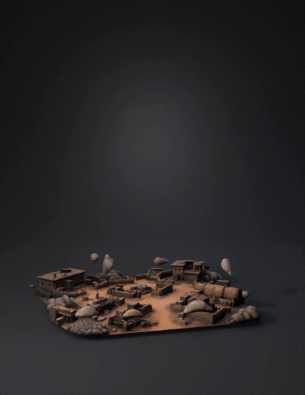
Battlefield Village 3D Model
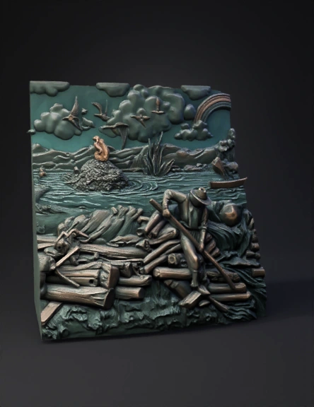
Historical Relief 3D Model
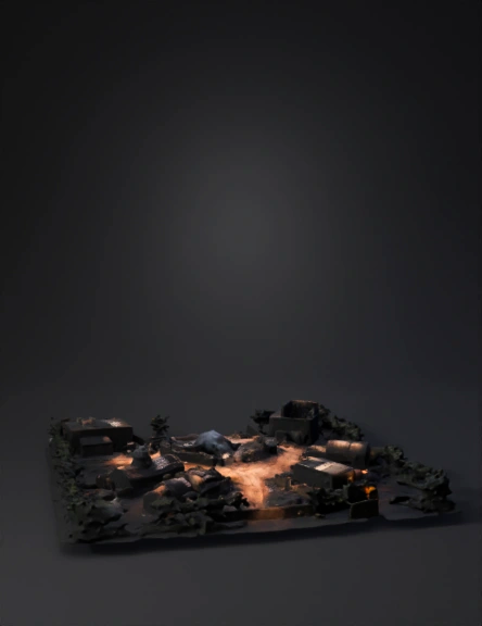
War Zone Battlefield 3D Model
Ancient Ruins 3D Model
Military Bunker 3D Model
Continuous Contour Trenches 3D Model
Contour Trench 3D Model
Underwater Ruins 3D Model
Continuous Contour Trenches 3D Model
War Battlefield 3D Model