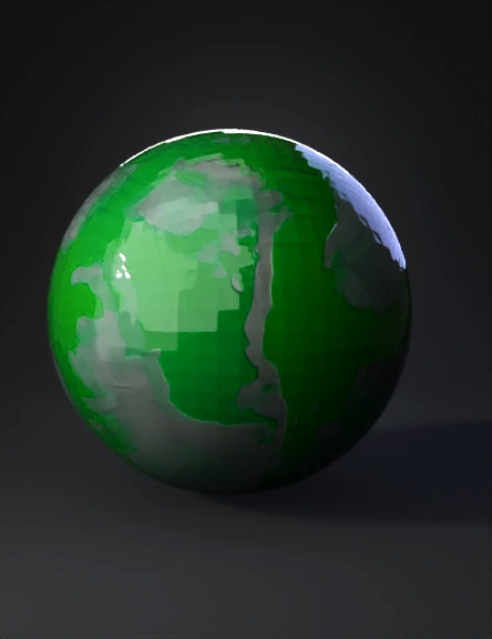
World Map 3D Model
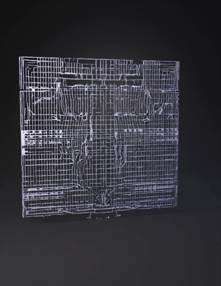
World Map 3D Model
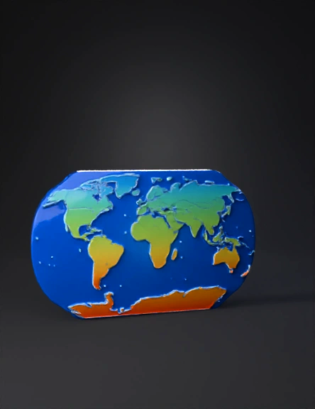
World Map 3D Model
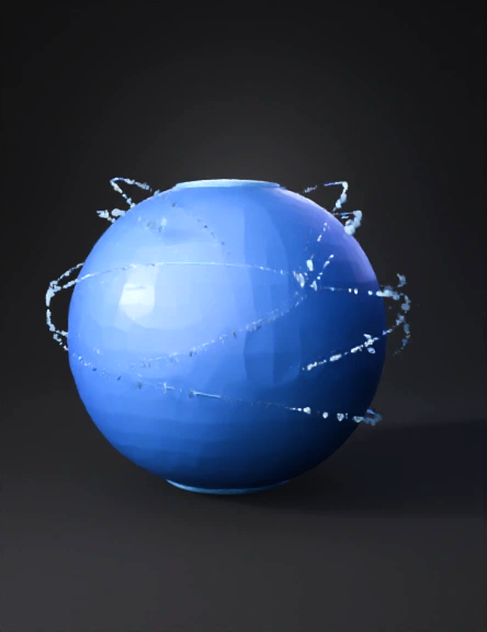
World Map 3D Model
World Map 3D Model

World Map 3D Model
World Map 3D Model
World Map 3D Model
World Map 3D Model
World Map 3D Model
World Map 3D Model
World Map 3D Model

World Map 3D Model
World Map 3D Model
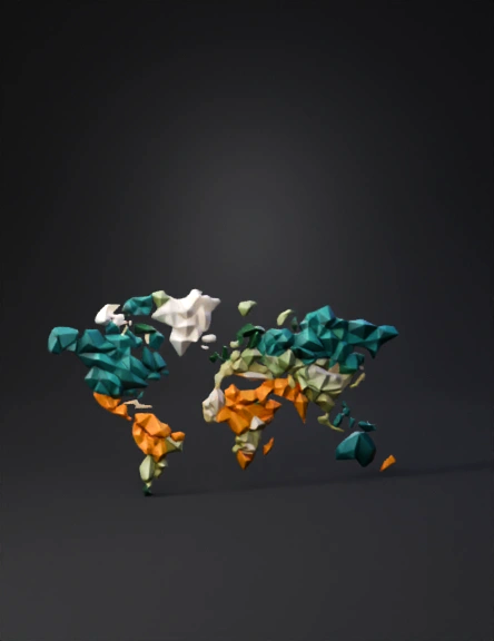
3d World Map 3D Model
World Map 3D Model