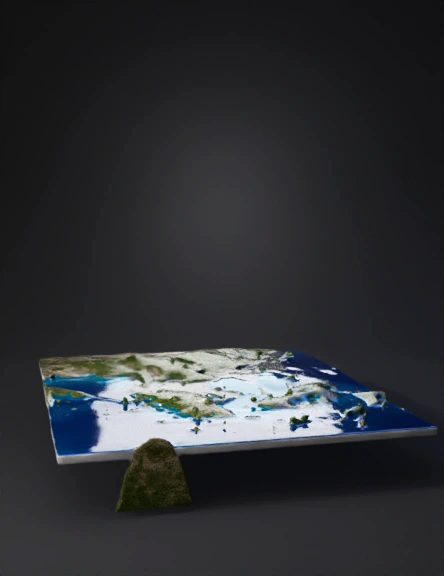
island archipelago 3d model
A large central landmass dominates the region, surrounded by interconnected seas. To the north lies a larger continent split into western and eastern sections by a broad channel. The western ocean enters from the left side of the map and flows eastward through a wide northern strait separating the northern continent from the central landmass. This waterway narrows near the center before opening into a long north-south inland sea east of the central landmass. A sizable eastern island is separated from both the northern continent and the central landmass by water, creating additional straits and sheltered coastal waters. The central sea continues southward, connecting to a curved channel that runs beneath the eastern island and exits toward a larger ocean beyond the southeast edge of the map. All visible bodies of water are connected, forming a continuous ocean system with several strategic straits, channels, and inland seas between the major landmasses.
4K·PBR·v3.1-20260211


