3D Workspace
Home
Assets
Affiliate Program
Creator Program
Sign up/Log in
View Plans
DCC Bridge
vorij46987
10-12 13:59
Model Name
regional map 3d model
Tags
boundaries
colors
district
map
nature environment
nature environment realistic
nature environment rendering
nature environment rendering realistic
outline
realistic
regional map
rendering
rendering realistic
Input
Prompt
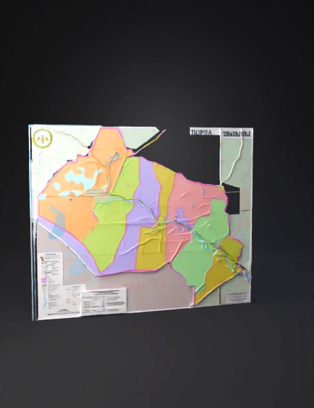
color-coded regional map showing district boundaries in pastel colors with pink outline, water features, and legend.
Detailed Info
Related Models
Enter invite code
Enter invite code to get credits!