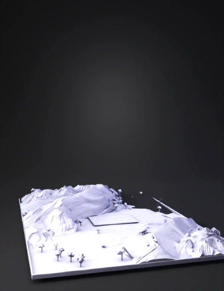
3d terrain model
Create a realistic 3D terrain model of a rectangular plot measuring 150 ft × 100 ft. The site contains a 40 ft × 30 ft flat leveled pad near the center for future construction. One long side of the property is elevated, forming a smooth natural slope that gradually descends across the site toward the opposite side. Show realistic terrain contours, elevation changes, and accurate landform geometry. Apply natural soil, grass, and earth textures. Clearly define property boundaries. Use a high-detail terrain mesh suitable for civil engineering, site planning, and architectural visualization. Render from a 45° isometric bird's-eye view with soft daylight lighting, realistic shadows, and accurate scale proportions. Output as a clean, professional, photorealistic 3D terrain model.
v3.1-20260211


