3D Workspace
Home
Assets
Affiliate Program
Creator Program
Sign up/Log in
View Plans
DCC Bridge
hell19floors
01-17 08:40
Model Name
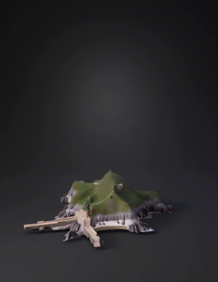
island terrain 3d model
Tags
island terrain
nature environment
nature environment realistic
nature environment rendering
nature environment rendering realistic
realistic
rendering
rendering realistic
Input
Prompt
Create a realistic 3D terrain model of Lan Chau Island (Cua Lo, Nghe An, Vietnam), using the provided satellite image as a strict reference. Geography & shape: – Small rocky coastal island connected to the mainland on the west side by a narrow land bridge / causeway. – Irregular natural coastline, with rocky outcrops extending into the sea on the east and northeast sides. – Preserve the exact island outline, orientation, and proportions from the satellite image (top-down reference). Topography: – Low elevation at the shoreline, gently rising toward the interior. – Highest point located near the central hill area (Lan Chau hill / Nghinh Phong area). – Steeper slopes and sharp elevation drop-offs toward the eastern and northeastern rocky shores. – No cliffs exaggerated; natural coastal rock slopes typical of a weathered granite island. Terrain style: – Rocky coastal edges with exposed dark stone. – Sparse vegetation near the shoreline, denser greenery toward the central higher area. – Smooth, natural terrain transitions (no artificial terracing). Modeling requirements: – Accurate terrain heightmap-based mesh. – Clean topology suitable for GIS, visualization, or educational use. – No buildings, no roads, no labels, no text. – Focus on natural landform only. Output: – Realistic scale and proportions. – Neutral daylight lighting. – Export-ready 3D terrain model.
Detailed Info
Related Models
Enter invite code
Enter invite code to get credits!
 hell19floors


 hell19floors