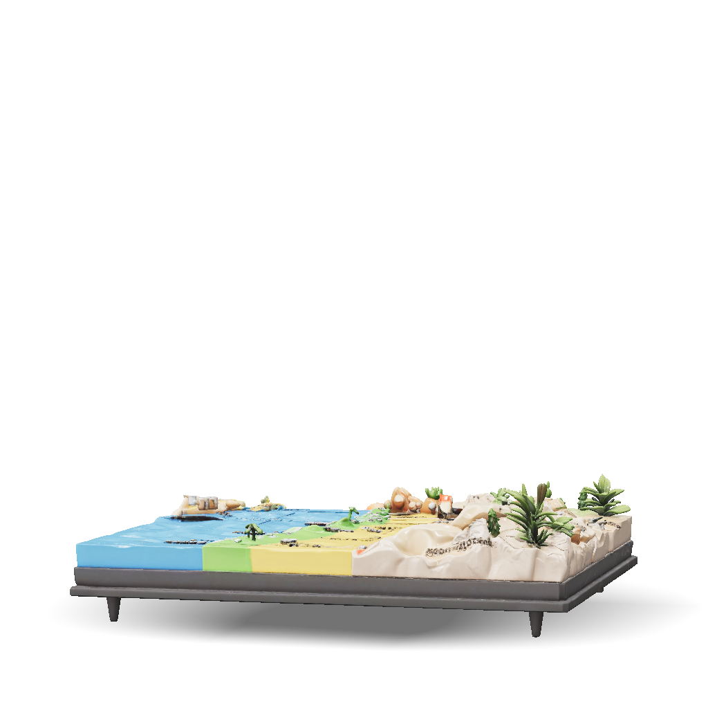
maritime zones 3d model
Create a scientifically accurate, colorful, highly detailed 3D educational geographical model explaining the maritime zones along the SOUTHERN COAST OF IRAN, specifically designed for 17-year-old high school students. The model should be based on the scientific concepts and educational structure presented in Iranian high-school Geography Grade 11, Lesson 10, page 131, and on official scientific and maritime boundary diagrams. MAIN PURPOSE: Create a clear 3D cutaway coastal scene showing how maritime boundaries are measured from the BASELINE toward the open sea. The final model must make the different maritime zones immediately understandable through: - distinct colors - clear boundary lines - precise distance markers - English labels - realistic 3D coastal geography - simple scientific visualization GEOGRAPHICAL SETTING: Show a realistic section of the SOUTHERN COAST OF IRAN facing the Persian Gulf / Gulf of Oman. Show: - Iranian mainland coastline - shoreline - coastal land - sea
4K·PBR·v3.1-20260211


