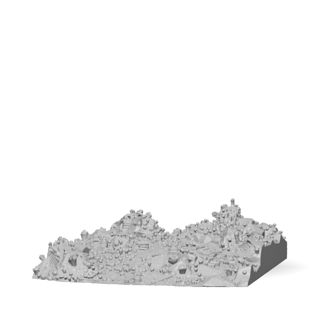
city map 3d model
Create an **ultra-high-detail top-down aerial reference image of a massive AAA open-world game map**. The image is intended to be used as a **direct visual reference for generating the actual 3D terrain, roads, buildings, vegetation, and environment assets**. The map must therefore be visually organized, geographically readable, and extremely detailed. ## CAMERA / VIEW Use a **true bird's-eye / orthographic-style top-down view**. * Camera looking almost perfectly straight downward * Entire playable map visible * No first-person perspective * No ground-level perspective * No dramatic side angle * No horizon * No cinematic tilted camera * No buildings blocking the overall map layout * Terrain elevation should still be visually obvious through shadows, contours, cliffs, ridges, valleys, and vegetation * Keep the entire map readable as a single continuous environment The image should resemble a **high-resolution satellite/game-development terrain overview**, but with much greater 3D a
8K·v3.1-20260211


