3D Workspace
Home
Assets
Affiliate Program
Creator Program
Sign up/Log in
?
Upgrade
DCC Bridge
Anonymous1781644315
06-16 21:20
Model Name
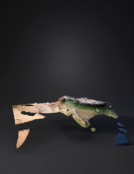
3d world map visualization
Tags
nature & environment
rendering
realistic
Prompt
D cinematic satellite map animation focusing on the Middle East and South Asia. The camera starts with a wide, high-angle view showing India, then smoothly pans and zooms west across the Arabian Sea, moving over Iran, and establishing a clear visual line toward Israel. Elegant, glowing neon lines trace the geographical paths and connections between India, Iran, and Israel. The topography features realistic 3D terrain, mountain elevation, and deep blue oceans. Soft, modern data-visualization graphics overlay the countries with subtle borders. Studio lighting with a cinematic dark mode aesthetic, smooth 60fps drone-like camera glide, hyper-detailed, 8k resolution.
Detailed Info
Related Models
Enter invite code
Enter invite code to get credits!
 Anonymous1781644315


 Anonymous1781644315