3D Workspace
Home
Assets
Affiliate Program
Creator Program
Sign up/Log in
View Plans
DCC Bridge
Anonymous1778699017
05-13 19:12
Model Name
military map 3d model
Tags
nature environment
nature environment realistic
nature environment simulation
nature environment simulation realistic
realistic
simulation
simulation realistic
terrain
topographic
Prompt
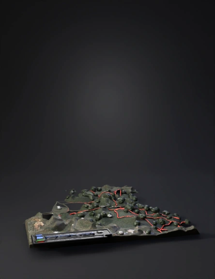
/imagine prompt: A realistic military intelligence topographic map of the Antioquia region, specifically the municipalities of Anorí and Amalfi. High-resolution satellite imagery base with 3D terrain elevation. Detailed forest cover and rugged mountain ranges. Bold red digital lines delineating "Mobility Corridors" through the jungle. Three distinct glowing markers: a blue icon over Anorí labeled "Logistical & Financial Hub (Guaricho)", a red icon over Amalfi labeled "Tactical Defense Zone (Eléctrico)", and a yellow icon in the central mountains labeled "Command & Control (Chejo)". NATO military symbology, digital coordinate grid, professional cartographic UI, hyper-realistic, 8k resolution, military briefing aesthetic --ar 16:9 --v 6.0
Detailed Info
Related Models
Enter invite code
Enter invite code to get credits!