3D Workspace
Home
Assets
Affiliate Program
Creator Program
Sign up/Log in
View Plans
DCC Bridge
Anonymous1739986062
04-06 07:34
Model Name
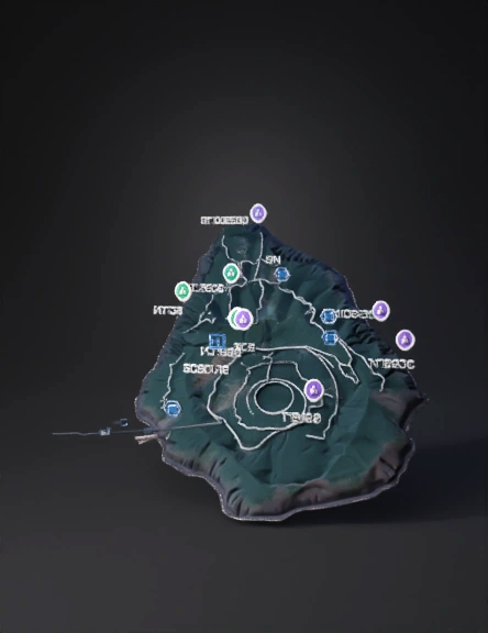
island map 3d model
Tags
island map
nature environment
nature environment realistic
nature environment rendering
nature environment rendering realistic
realistic
rendering
rendering realistic
terrain
Input
Prompt
island map with elevation contours and satellite imagery, showing terrain and surrounding sea
Detailed Info
Related Models
Enter invite code
Enter invite code to get credits!