3D Workspace
Home
Assets
Affiliate Program
Creator Program
Sign up/Log in
View Plans
DCC Bridge
qintao_harbin
01-15 01:11
Model Name
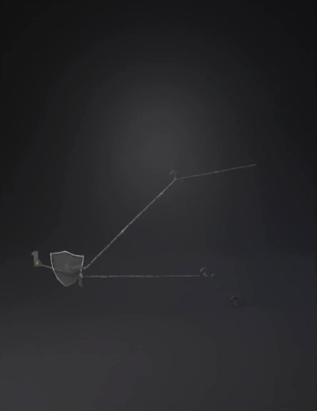
drone route 3d model
Tags
flight
map
nature environment
nature environment realistic
nature environment rendering
nature environment rendering realistic
orbital paths
path
realistic
rendering
rendering realistic
Input
Prompt
satellite map showing a dashed green flight path connecting labeled waypoints
Detailed Info
Related Models
Enter invite code
Enter invite code to get credits!