3D Workspace
Home
Assets
Affiliate Program
Sign up/Log in
?
Upgrade
DCC Bridge
Anonymous1757898792
11-06 22:26
Model Name
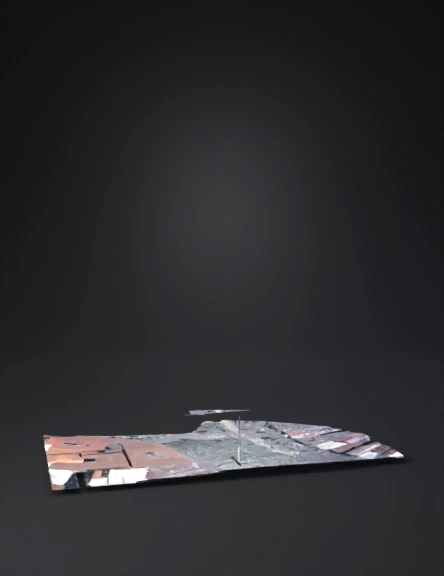
urban street 3d model
Tags
architecture
architecture realistic
architecture rendering
architecture rendering realistic
realistic
rendering
rendering realistic
urban street
urban street intersection
Input
Prompt
Using the following satellite image, generate a detailed architectural elevation model of the terrain and its immediate context. Focus on accurately capturing the topography, contours, and any visible built elements. The model should be suitable for use in architectural site planning and early design phases, so prioritize: Clear elevation transitions Scaled massing of existing structures (if identifiable) Consistent vertical and horizontal references Output the 3D elevation model in a format compatible with Rhino, SketchUp, or Blender. Use real-world scale and orientation based on the image’s geolocation metadata (if available).
Detailed Info
Related Models
Enter invite code
Enter invite code to get credits!