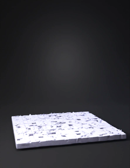
Blue Tiled Mosaic 3D Model
Grayscale Heightmap 3D Model
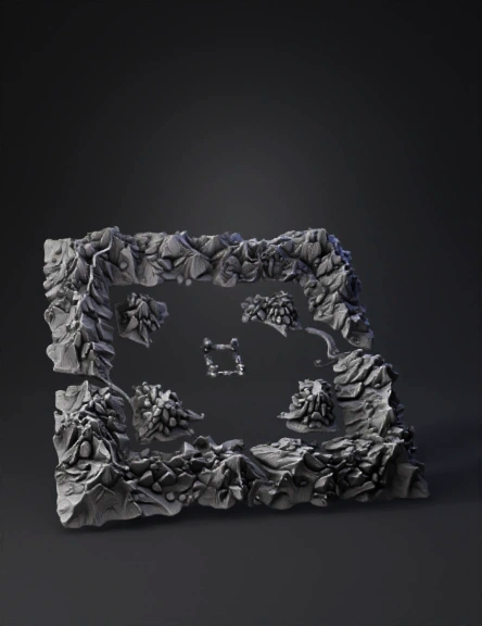
Dust2 Карта 3d Модель 3D Model
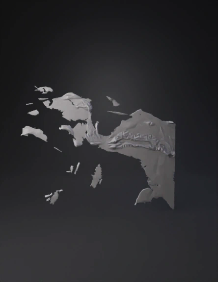
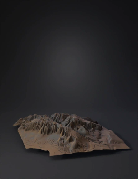
Coastal Terrain Heightmap 3D Model
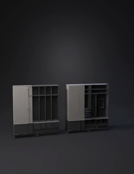
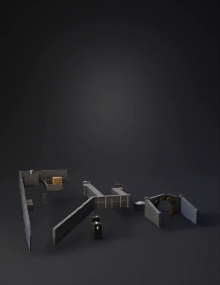
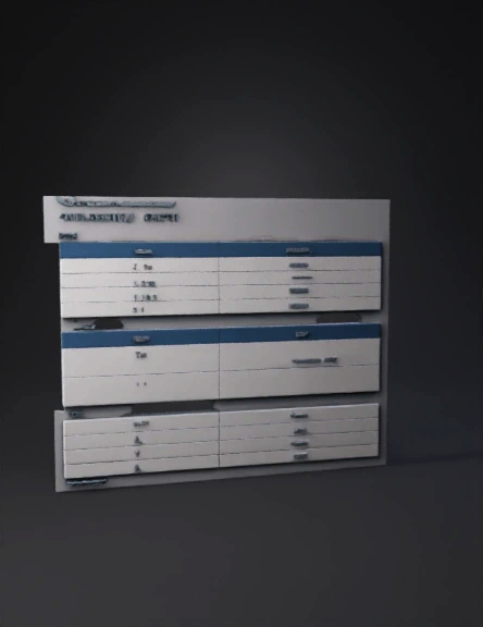
Architectural Cabinet 3D Model
High Jump 3D Model
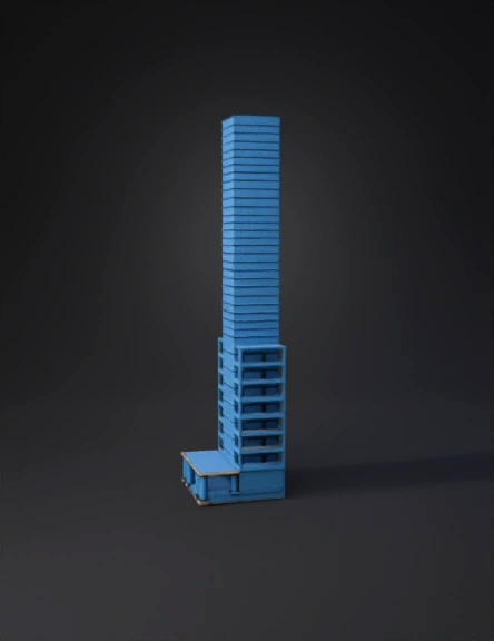
Skyscraper 3D Model
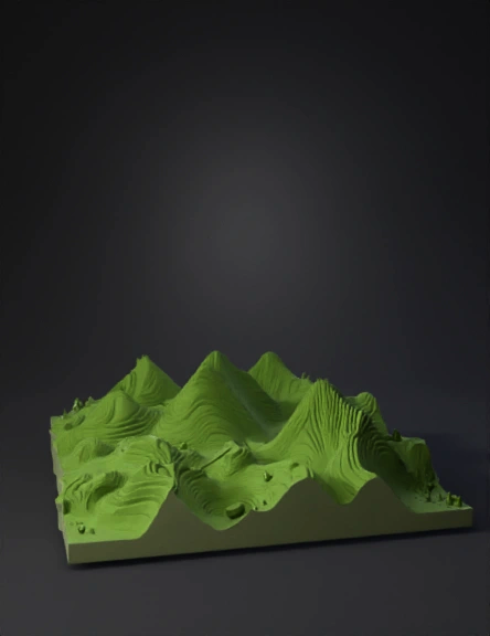
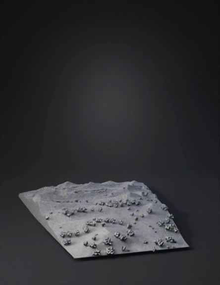
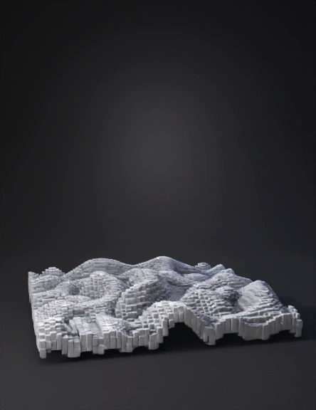
Topographic Heightmap 3D Model
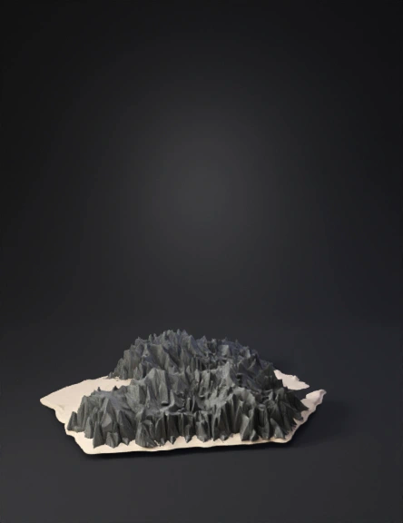
Mountain Range 3D Model
3d Terrain Model 3D Model
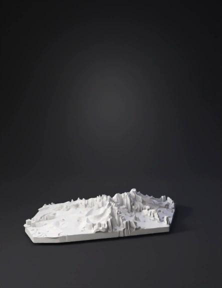
Coastal Terrain 3D Model
Human Height Ruler 3D Model
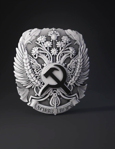
Герб Ссср 3d Модель 3D Model
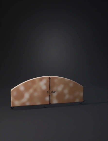
Arched Roof 3D Model
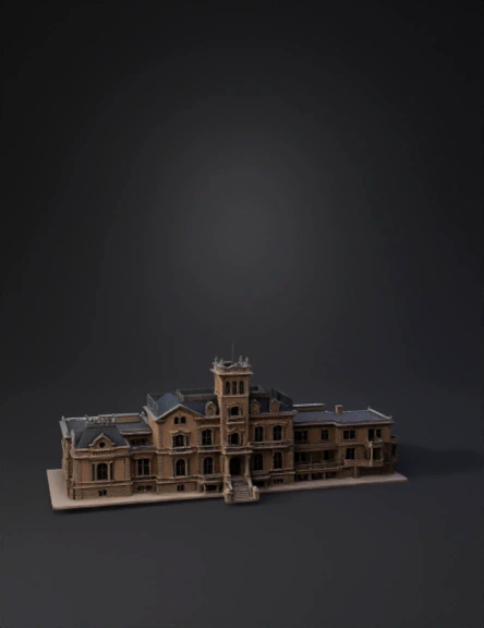
Architectural Building 3D Model
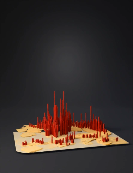
3d City Height Map 3D Model
Topographic Terrain 3D Model
Terrain Heightmap 3D Model