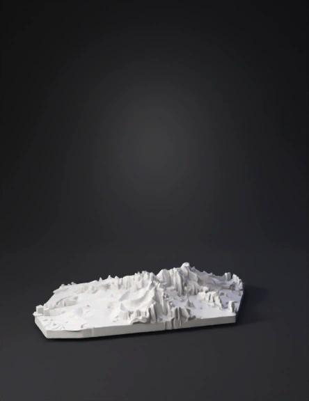
topographic heightmap 3d model
High-precision bas-relief elevation model of Ivano-Frankivsk, Ukraine. Accurate topographic terrain based on realistic GIS-like elevation data. Terrain represented strictly as a continuous heightmap surface, no separate objects. Orthographic top-down projection, flat camera angle, zero perspective distortion. Centered square composition. White matte gypsum/plaster material. Soft ambient lighting combined with directional side lighting to emphasize elevation depth and surface relief. Smooth gradient transitions for precise elevation changes. Clearly readable depth variations optimized for displacement and heightmap extraction. Minimalistic clean style, no artistic interpretation, no decorative elements. Pure monochrome (white), no textures, no noise, no color variations. NEGATIVE PROMPT (покращений) perspective view, angled camera, depth of field blur, color maps, colored terrain, textures, noise, overly artistic style, stylization, abstraction, separate buildings, extruded objects, 3D structures, sharp ed
4K·PBR·v3.1-20260211


