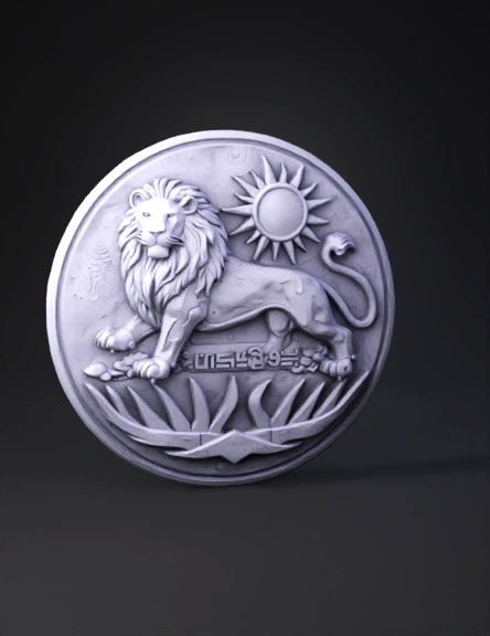
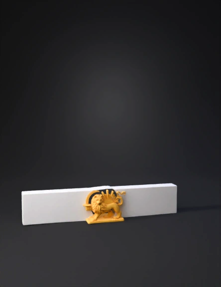
Lion And Sun Relief 3D Model
Iran Map 3D Model
Iran Map 3D Model
Iran Map 3D Model
Iran Map 3D Model
Iran Map 3D Model
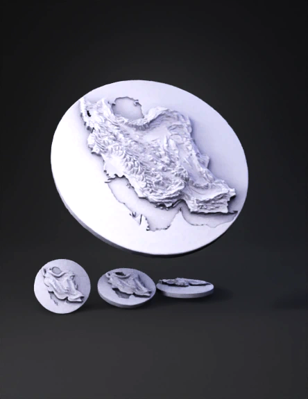
Iran Map 3D Model
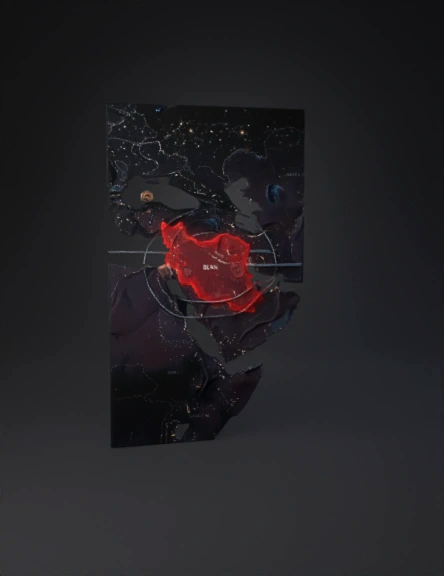
Iran Map 3D Model
Iran Map 3D Model
Iran Map 3D Model
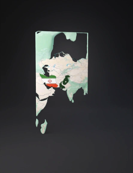
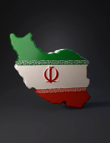
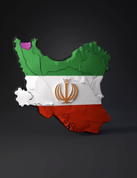
Flag Map 3D Model
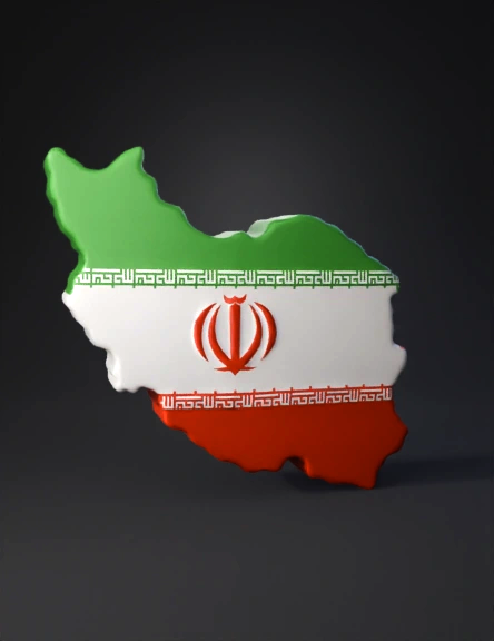
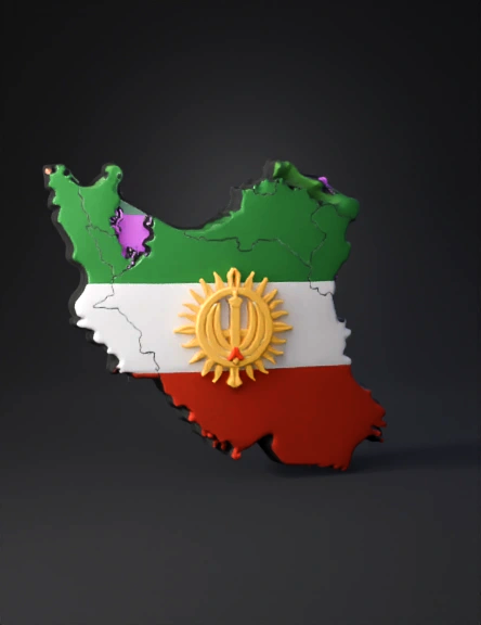
Iranian Flag 3D Model
Iran Map 3D Model
Iran Map 3D Model
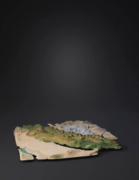
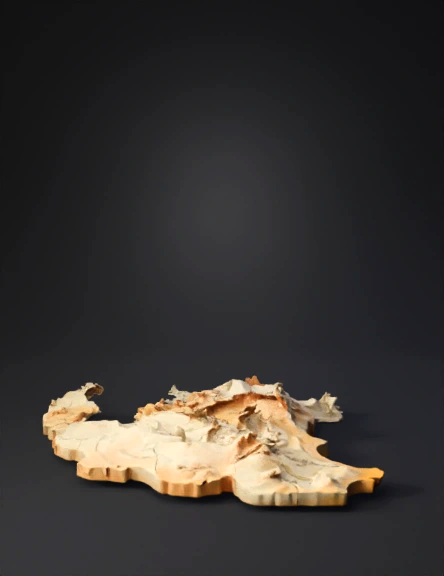
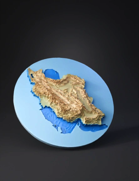
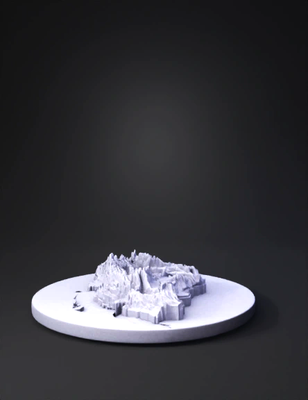
Iran Topographic 3D Model
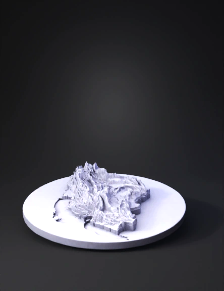
Iran Topographic Map 3D Model
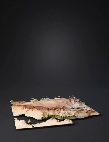
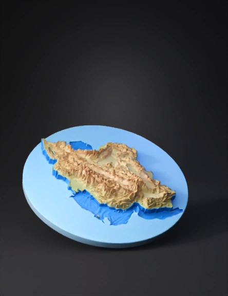
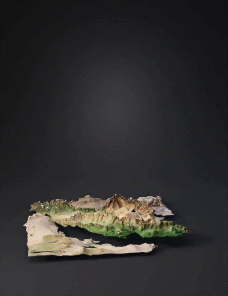
Iran Terrain Map 3D Model