iran terrain map 3d model
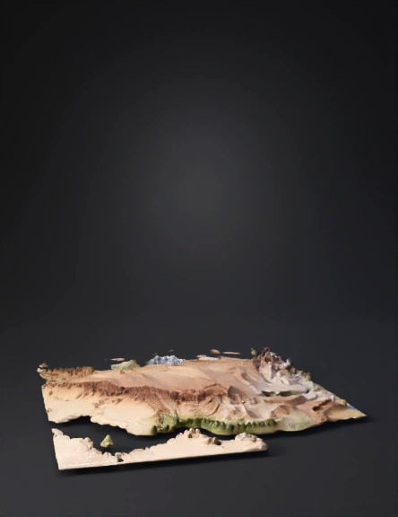
Ultra-realistic 3D topographic map of entire Iran created strictly from real SRTM 30m + ASTER GDEM satellite elevation data. Exact country shape and true geological proportions: parallel folded Zagros thrust ridges with deep accurate SW-NE gorges, high Alborz Mountains with precise Damavand 5610m peak, perfectly flat Khuzestan alluvial plain with correct near-zero elevation and Karun river delta, central Iranian plateau with salt deserts Dasht-e Kavir and Lut, highly accurate Persian Gulf coastline and strategic Kharg Island. Realistic Landsat satellite texturing and natural hypsometric colors: green lowlands, yellow to brown mid-elevations, grey to white high peaks. Realistic vertical scale 1.0x (no strong exaggeration) for true relief proportions. Thin white international borders. Small visible red dots for key cities: Tehran, Ahvaz, Khorramshahr, Abadan, Bandar Abbas, Tabriz, Mashhad. Clean high-detail mesh, photorealistic slope shading and texturing, maximum satellite data accuracy
4K·v3.1-20260211


