3D Workspace
Home
Assets
Affiliate Program
Creator Program
Sign up/Log in
View Plans
DCC Bridge
khalid.lmourabit
02-08 15:07
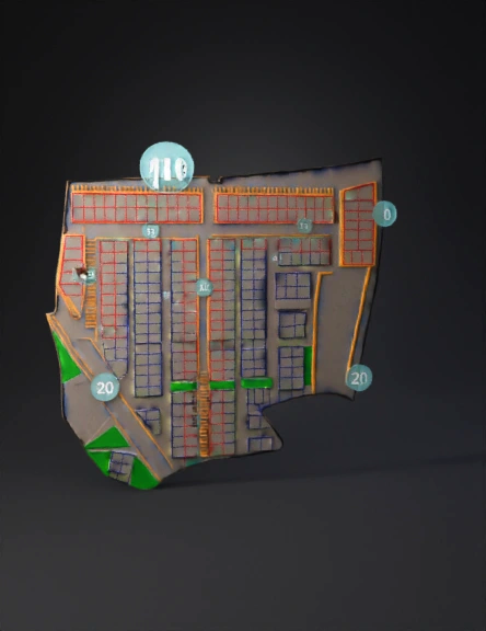
Model Name
land parcel map 3d model
Tags
architecture
architecture realistic
architecture simulation
architecture simulation realistic
borderlands
land
prairie
realistic
simulation
simulation realistic
terrain
Input
Prompt
aerial view of a land development parcel layout with colored grid plots inside an orange boundary in desert terrain
Detailed Info
Related Models
Enter invite code
Enter invite code to get credits!