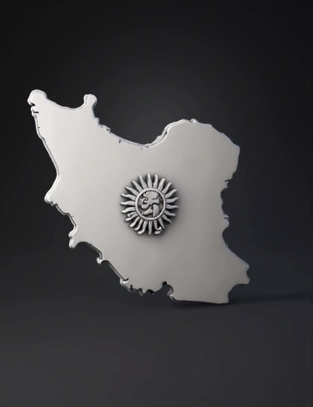
iran map 3d model
Create a 3D model based exactly on the provided image. Do NOT change or simplify the shape, proportions, or curves of the Iran map. Preserve every coastline detail, including: - The full curved northern border along the Caspian Sea, - The indentation of the Caspian Sea, - The southern Persian Gulf coastline, - All major angles and characteristic borders. Preserve the Lion and Sun emblem exactly as shown: - Same pose, same proportions, same sword angle, - Same sun shape and number of rays, - No redesign, no reinterpretation, no smoothing. Model requirements: - Flat back surface for magnet use. - Total thickness: 4 mm. - Emblem raised 1 mm above the map surface. - Single solid, watertight mesh. - No artistic changes, no stylization, no reinterpretation. - Reproduce the image as a precise 3D object.
4K·v3.1-20260211


