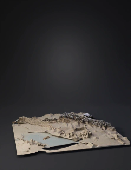
iran terrain 3d model
Highly accurate real-world 3D topographic terrain model of the entire country of Iran, created from real satellite DEM data (SRTM 30m + ASTER GDEM). Perfect geological and geomorphological fidelity: - Extremely detailed Zagros Mountains with parallel folded thrust ridges, deep gorges and correct southwest-northeast orientation. - Sharp high Alborz Mountains with Damavand peak (5610m) and volcanic features. - Flat Khuzestan alluvial plain (almost zero elevation variation), Karun river delta. - Central Iranian plateau with salt deserts (Dasht-e Kavir, Dasht-e Lut). - Accurate Persian Gulf coastline, Strait of Hormuz, and strategic Kharg Island. - All major rivers and lakes with precise paths. Use real satellite texturing: natural colors based on Landsat (green lowlands, brown/yellow mid elevations, grey/white above 4000m), realistic rock, vegetation and desert materials. Vertical exaggeration: 1.6x for clear strategic visibility. Add thin white international borders and small red glow
4K·v3.1-20260211


