3D Workspace
Home
Assets
Affiliate Program
Creator Program
Sign up/Log in
View Plans
DCC Bridge
Anonymous1772826810
03-06 20:14
Model Name
aerial site plan 3d model
Tags
architecture
architecture realistic
architecture simulation
architecture simulation realistic
realistic
simulation
simulation realistic
site plan
terrain
Input
Prompt
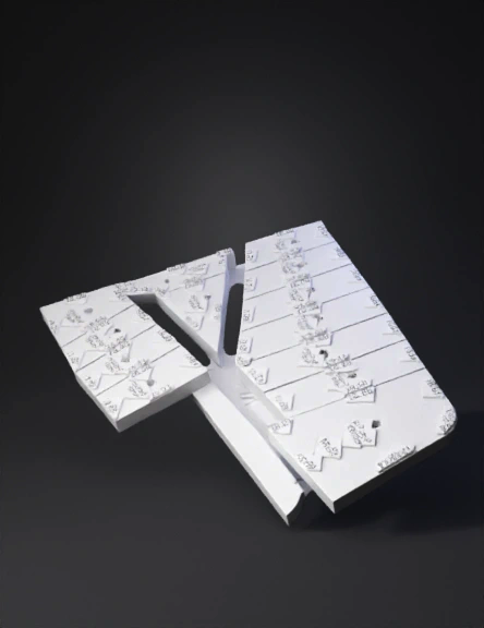
Use the provided aerial image as the mandatory base reference. Create a clean 3D plane model of the terrain while keeping the aerial image perfectly aligned as the ground texture. The subdivision lines, lot numbers, lot shapes and road layout must remain exactly identical to the original image. Do not redesign, reinterpret or modify the subdivision geometry. The terrain should become a flat 3D ground surface (planar terrain) with the aerial image applied as a high-resolution texture. Requirements: • Preserve the exact lot boundaries and numbering • Preserve the exact road positions and shapes • Do not create new lots • Do not delete existing lots • Do not move any subdivision lines • Do not change lot angles or sizes The model must be optimized for interactive web visualization, allowing camera rotation, zoom and orbit navigation. Technical requirements: • Export as GLB / GLTF format • Clean topology • Single ground mesh with high-resolution texture • Correct UV mapping so the aerial image fits perfectly • Real scale proportions Lighting should be neutral studio lighting to keep the map clearly visible. Goal: Create a professional interactive 3D map that can be rotated, zoomed and explored on a website while maintaining the exact subdivision layout from the original aerial image.
Detailed Info
Related Models
Enter invite code
Enter invite code to get credits!